Volume Analysis

delivering accurate

Volumetric Survey

A volumetric survey is a type of surveying technique used to measure and calculate the volume of a specific area or object. It involves the precise measurement and analysis of three-dimensional shapes, such as stockpiles, excavations, landfills, or land formations.

When it comes to volumetric surveying, BMD Civils stands out as a trusted provider of accurate and reliable measurement solutions. BMD can also provide comprehensive volume computation reports tailored to your specific needs. Whether you’re managing a construction site, mining operation, or environmental project, our expertise in volume computation ensures accurate measurements for quantities of materials, stockpile inventories, or landfills. 

The purpose of a volumetric survey is to determine the exact volume of a given area or object for various applications, including:

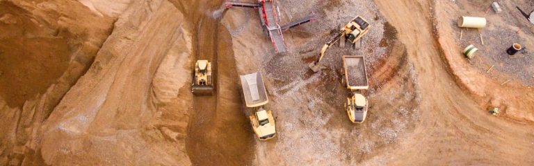
  1. Stockpile Management: Volumetric surveys are commonly used in industries such as mining, construction, and agriculture to monitor and manage stockpiles of materials, such as minerals, aggregates, or crops. By accurately measuring the volume of stockpiles, companies can assess inventory levels, track material usage, and optimize resource allocation.

  2. Earthwork Quantities: In construction projects, volumetric surveys play a crucial role in calculating the quantities of earthwork required for grading, excavations, or embankments. By accurately measuring the volumes of cut and fill areas, contractors can estimate material requirements, plan equipment usage, and optimize project scheduling.

  3. Landfill Monitoring: Volumetric surveys are employed in landfill management to track the amount of waste deposited and estimate remaining capacity. By regularly surveying the landfill site and calculating the volume of waste, operators can effectively plan for expansion, comply with regulatory requirements, and monitor waste disposal rates.

  4. Cut-and-Fill Analysis: Volumetric surveys are used in site development projects to analyse the balance between cut (material removed) and fill (material added) areas. This analysis helps optimize grading plans, minimize material transportation, and reduce project costs.

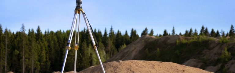
To conduct a volumetric survey, surveyors use various methods and tools, including traditional surveying equipment like total stations or GPS systems, as well as more advanced techniques like LiDAR (Light Detection and Ranging) or photogrammetry. These technologies allow for accurate three-dimensional measurements and the creation of detailed surface models or point clouds.

Contact BMD Civils for Precise Volumetric Surveying

When it comes to accurate volumetric surveying, BMD Civils is your reliable partner. With our expertise, advanced technology, tailored solutions, and commitment to client satisfaction, we deliver precise measurements that help you make informed decisions for your projects. Contact us today to discuss your volumetric surveying requirements and let us assist you in achieving your goals.